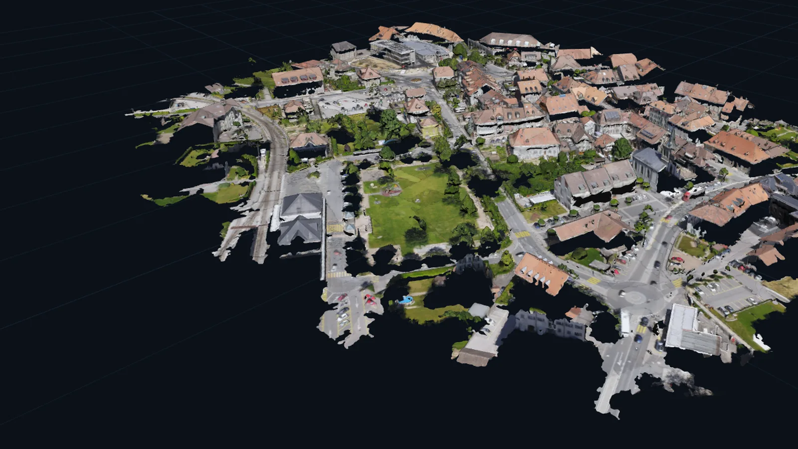
A 3D model
A textured mesh: the town as a solid surface with the photographs wrapped onto it. Turn it, zoom in and measure on it.
MeasurableUpload the photos from one drone flight. Helios gives you a textured 3D model, an orthomosaic, an elevation map and a Gaussian splat, with a link your client opens in any browser. Pay per job, no subscription, first run free.
Made by Helios from Pix4D's public sample: 100 photos from one flight, 100 of 100 camera positions solved, 6,178,028 points in the dense cloud. Opens in your browser, nothing to install; about 100 MB, so Wi-Fi helps.
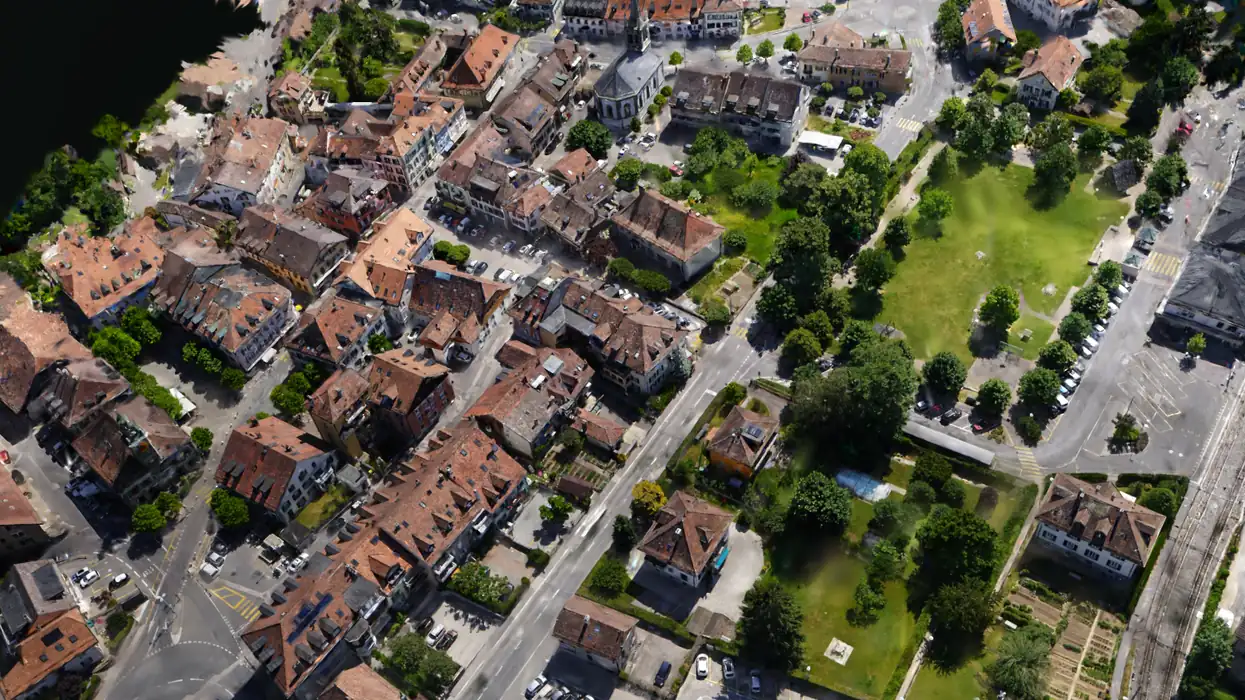 Tap to open the 3D model
A textured mesh: the town as a solid surface with the photographs wrapped onto it. Turn it, zoom in and measure on it.
Measurable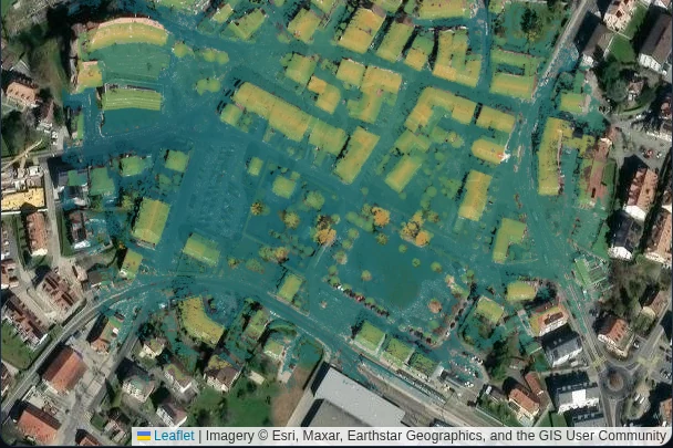
An orthomosaic, the whole site as one straight-down picture, and a height map of the ground and rooftops. Take distances, areas and elevation on them.
Measurable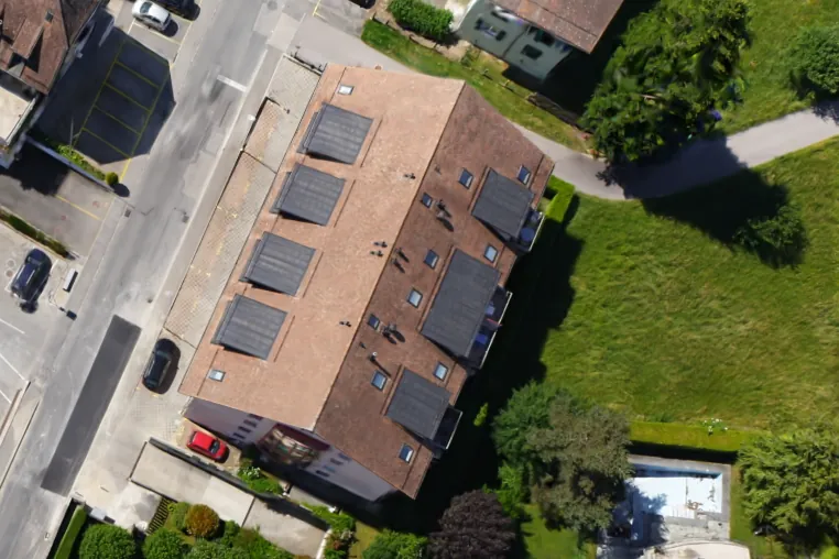
A Gaussian splat: a scene you fly through in your browser. It is for looking, not measuring.
For lookingUp to 300 photos. An account is free and needs no card.
Your codeTRY-BG4A-XXRU-GUE2-UKN5
Create your free Helios account.
Sign up freeIn Helios open Billing, choose “Redeem a coupon” and paste the code shown above.
Upload your drone photos and start the run. Helios emails you when the run starts and again when your results are ready.
One code per account. Valid until 31 December 2026.
The overlapping photographs from one drone flight, as JPEG or TIFF straight off the drone, so each one keeps its GPS position. Helios asks for about 80 percent overlap along the flight line and 70 percent between lines. For flat ground such as a roof or a stockpile top, push it to 85 and 75 percent.
Pay per job, no subscription. The price depends on how many photos you upload, and Helios shows it before a run starts, so nothing is charged without you seeing it first.
It is a public example dataset of 100 photographs of a town. The photographs are Pix4D's and the 3D results on this page are Helios reconstructions of them. The full credit is just below.
The town photographs and the Helios reconstructions of them on this page come from the PIX4Dmatic 100 image example dataset (senseFly, AeriaX). Photographs theirs, reconstruction ours. Courtesy of Pix4D / pix4d.com